Fire on the Mountain
50K & 25K
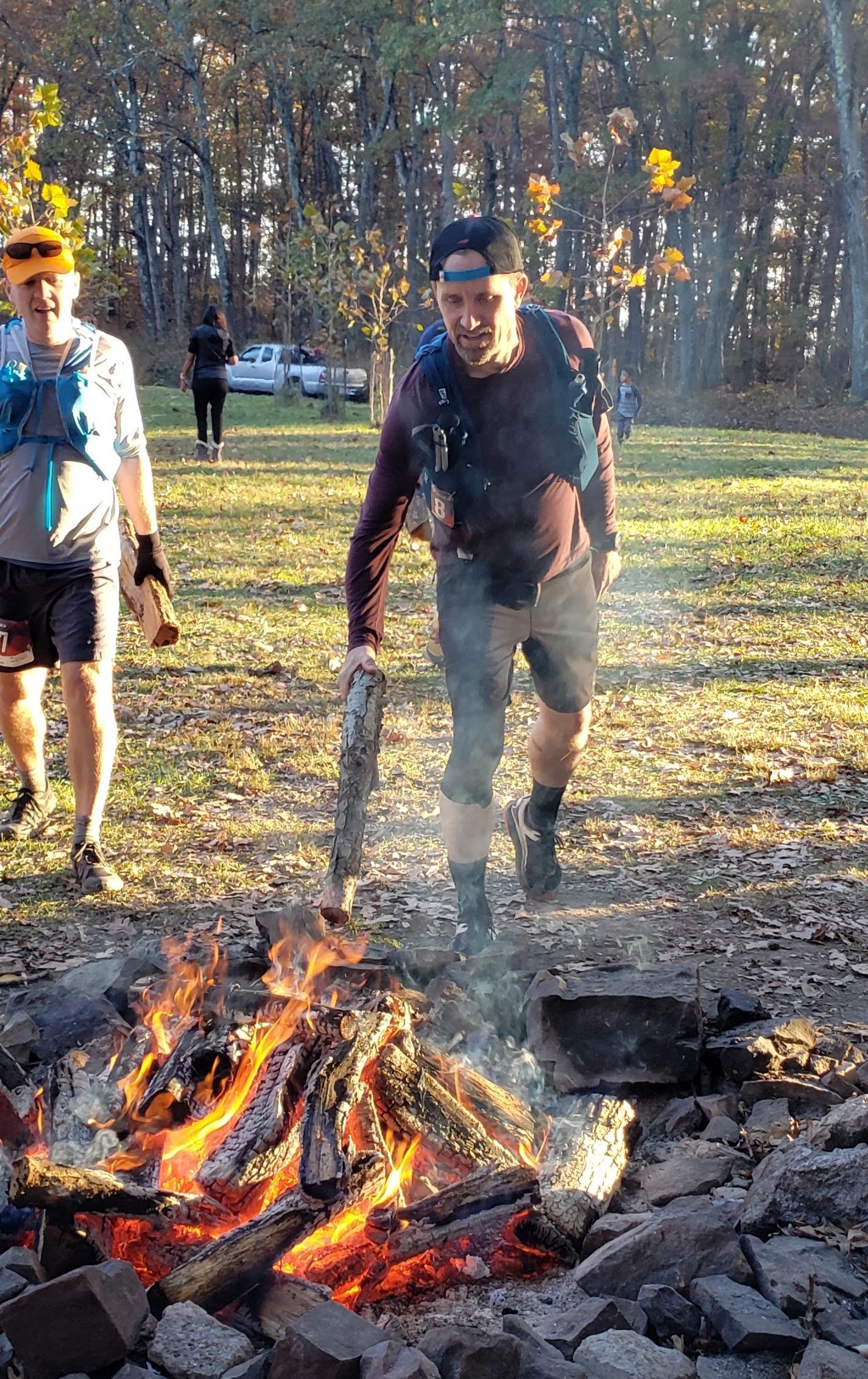
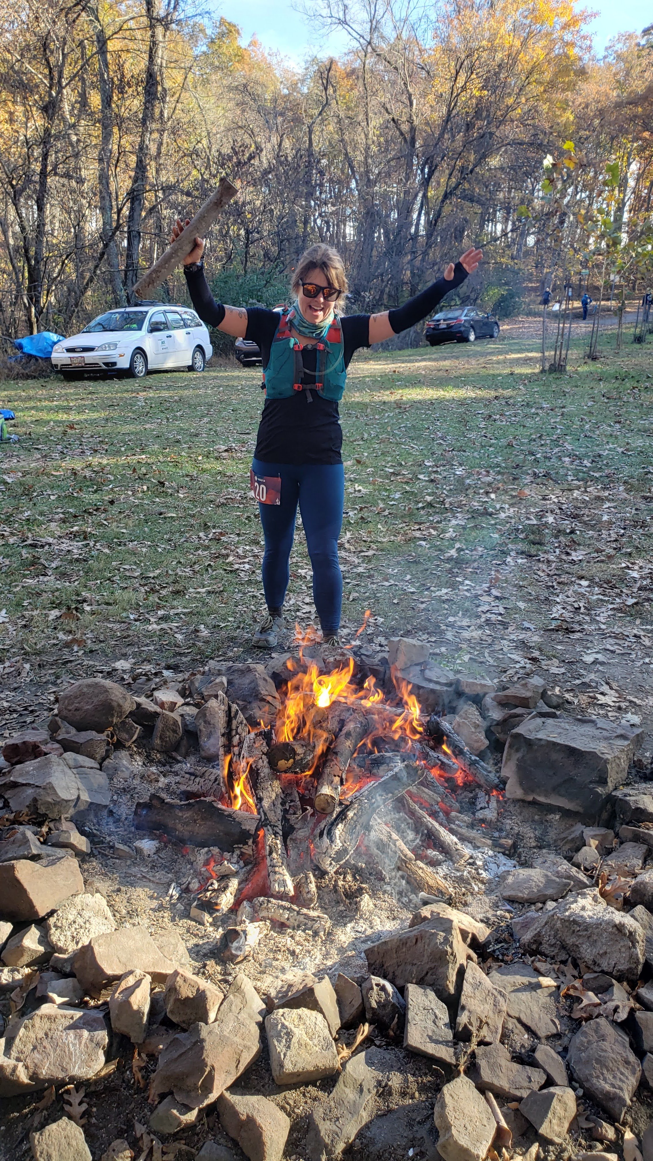
Stoke the fire.
Sunday, November 3rd, 2024
Green Ridge State Forest, Maryland
Ultra Marathon 25k | 50k
Race director: Adam Lowe
Contact information:
Email — 2LoweRunCo@gmail.com
Instagram — @fotm50k
Settled deep within Green Ridge State Forest’s 48,000-plus acres, Fire on the Mountain Ultra Marathon measures approximately 32.8 miles and features an out-and-back course style similar to the beloved Catoctin 50K. And…our Race Director (RD) says this course doesn’t run like any ol’ “out-and-back” course, because the experience in the reverse direction, especially the final quarter of the race, is a whole different experience than the first quarter of the race. Come on out and try a training run if you don’t believe it.
“Anyone who has not run the red trail in reverse direction might understandably think, at least at first, that it’s a boring out-and-back deal,” Kevin Spradlin said. “But the red trail in particular is a very different sort of adventure going back then going towards the midway point. There’s plenty of, ‘hold-onto-that-tree’ moments as well as, ‘I-have-to-climb-this?’ and ‘is-that-the-trail?'”
And then, of course, there’s that last mile.
Packet Pickup & Race Location
RACE LOCATION: start/finish line
Saturday, Nov. 2 - Packet Pickup
3:00 p.m. – 5:30 p.m. Packet pick-up at Locust Pub Brewery (Exit 68 off I-68).
Pub is located at: 31706 Old Adams Road, Little Orleans, MD 21766. Google Maps link.
Sunday, Nov. 3 - RACE
5:15 a.m. – 6:40 a.m. Packet pick-up begins at start/finish line*
7:00 a.m. – Race begins**
11:30 a.m. – Cutoff time for official 25K finishers
5:00 p.m. – Cutoff time for official 50K finishers
*Those who have not picked up their bib number by 6:40 a.m. will have to wait until the race begins before receiving their bib. Runners are strongly encouraged to arrive as close to 5:15 a.m. as possible.
**Please note: Daylight Savings Time ends at 2 a.m. on Sunday, November 5. This means you should set your clocks back 1 hour before going to bed on Saturday, November 4. Failure to do so will have you arriving very, very early to the race site.
Directions
Directions to parking area/finish line. Click for Google map here.
Take Exit 68 off I-68.
Take Orleans Road South for a total of about 5.7 miles (bear right at sign for Bill’s Place).
Cross low-water bridge.
Turn right off of bridge onto Oldtown Orleans Road.
Stay on Oldtown Orleans Road for about 2.7 miles to reach Carroll Road.
Park in grassy field across from Carroll Road – or follow directions of event staff.
It will be DARK on race morning. Drive slowly and pay attention.
Drop bag info:
You will bring your own drop bag and put it into a designated vehicle on race morning. The bags will be available at Aid Station 4 (mile 16.4, the “oasis”). Don’t put car keys in the bags! The bags might not beat you to the finish line. And if you forget to pick up your drop bag and request us to mail it (if we can find it), you will incur the wrath of the Race Director. It takes not only money, but time, and sometimes that’s difficult to come by in a household of five children.
Our Sponsors:


About the Races
50k - Distance of the race is about 32.8 miles. There will be seven aid stations on this out-and-back course (three are hit twice, plus the “oasis” at the midway point). Runners must complete the course as assigned in 10 hours and 0 seconds or less to be considered an official finisher.
25K – Distance is about 16.3 miles. There will be three aid stations (one is hit twice). Cutoff time is 4 hours and 30 minutes. The course includes approximately 6.5 miles of trail (sometimes technical), with ups and downs, roots, rocks, and sometimes “billy goat” trails (thin track and slightly cantered towards the creek a couple hundred feet below), plus 9.6 miles of a mix of forest service road and improved road.
All finishers under the official cutoff time for each event (10 hours 0 seconds for 50K, and 4.5 hours for 25K) will receive a finisher’s premium. You’ll also earn your event T-shirt. Take pride in both – you earned them! If you didn’t earn ’em, please don’t ask for ’em. It is unlikely a runner will negative-split this course, especially if it takes that runner 5 hours to reach the 50K midway point or more than 2.5 hours to reach Aid Station 2 for the 25K.
Please Note: No refunds, no deferments (certain military exceptions apply), no transfers.

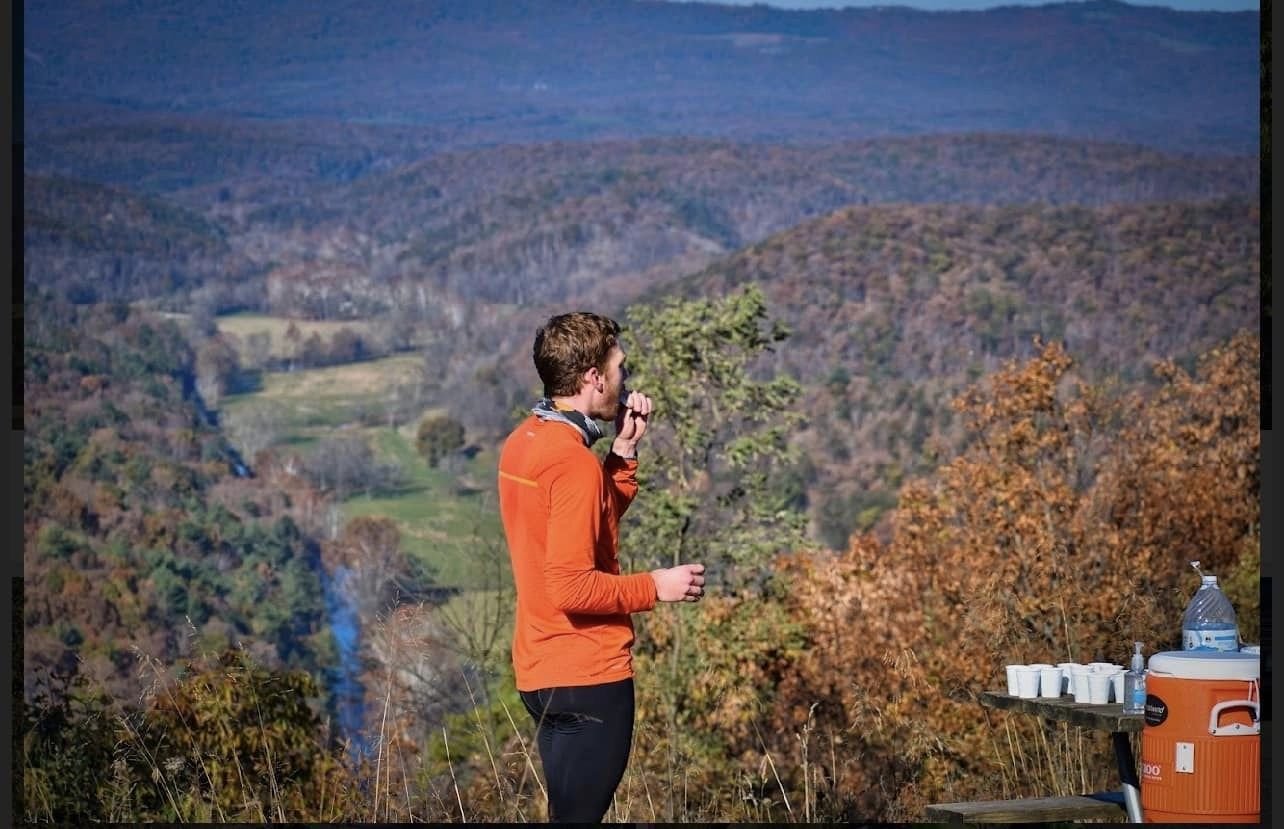
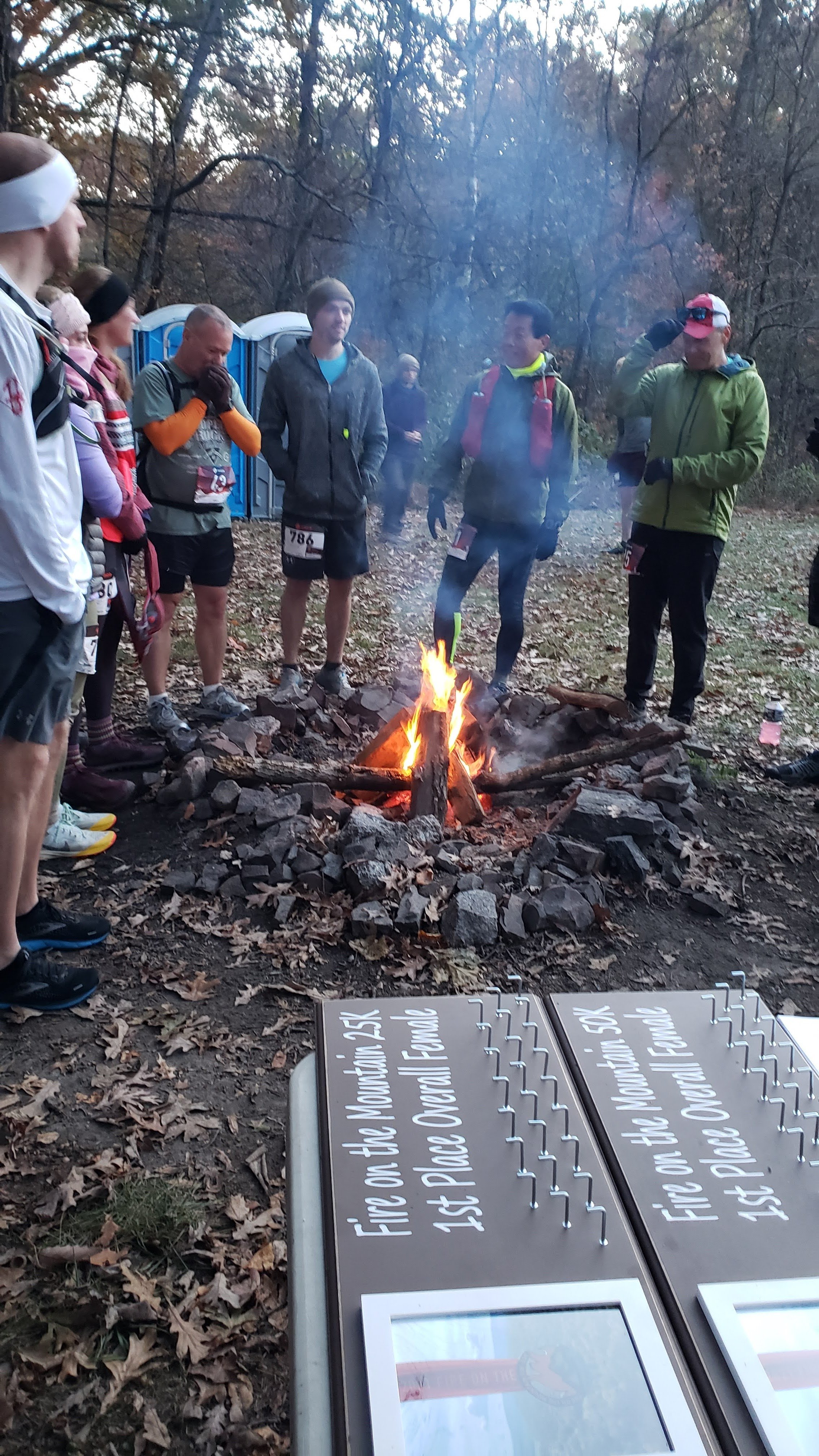
Good morning on the mountain
Details on Green Ridge State Park
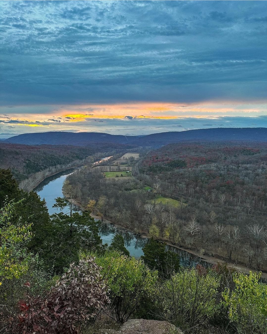
The course will, as always, start at Point Lookout on Carroll Road in the southeast corner of Green Ridge State Forest’s 48,000-plus acres. After 0.2 miles of dirt road and about 1 mile of downhill on hardcap, runners will enter the Long Pond (red) trail. The red trail intersects with the Deep Run/Big Run (green) trail, which takes you to Kirk Road and Log Roll Overlook (at mile 16.4, it remains the “oasis” and midway as in FOTM’s first five years).
The whole idea of staging Fire on the Mountain was to welcome new visitors and returning visitors alike to Green Ridge State Forest. This race is contested now solely on the red and green trails, but the blue, purple, and orange trails are definitely worth checking out at any time. Unofficial GPS estimates that the course offers 5,387 feet in elevation gain/loss during the approximately 32.8 miles.
IT’S HUNTING SEASON
It will be archery season (not firearms season) in Green Ridge State Forest on Sunday, November 5. Per advice from Runner’s World, runners should AVOID brown, black, green, or any other natural-looking or animal-like colors. We also recommend avoiding red, white, and blue (including on your bandanas, socks, etc.). Bright neon orange, yellow, and pink are strongly recommended. Hunter orange is always a good choice, too.

Red trail
The highest point is 985 feet above sea level (at the ridge overlooking Long Pond). The lowest point is 465 feet above sea level (near the canal, which you won’t see during race). The difference in elevation is 520 feet (but let’s see if your legs think it’s that easy).
Green trail
The highest point is 1,268 feet above sea level (at the divide of Big Run and Deep Run). The lowest point is 740 feet above sea level (at the intersection of red trail and green trail). The difference in elevation of about 528 feet.
FAQs
Are there training runs?
Yes! There will be a series of semi-organized (and self-supported) training runs to familiarize runners with different portions of the race course. They will be staged in September and October. The schedule of these runs and details, will be posted by August 1, or contact us.
Can I get a shirt?
Are you signed up? Shirts are included with registration. Some notes:
Shirts will not be mailed.
Shirts will be given out at packet pickup to each registered runner.
Do you need volunteers?
Yes! We need volunteers for this event to fuel runners at 4 aid stations (7 total, but 3 are hit twice). If interested in helping – or having your school/civic club group help – please send an email to fireonthemountain50k@gmail.com.
I’m a spectator. What do I do?
Spectators are allowed near the start (on Oldtown Orleans Road, no parking on Carroll Road), Aid Station 2 (limited), Aid Station 4, Aid Station 6 (limited), and the finish line. Stay clear of the runners, and cheer loudly!
If you’re hoping to volunteer during the race to support a runner, we are grateful for your help! Contact the RD at fireonthemountain50k@gmail.com if you’re interested in being a part-time event volunteer.
Can I defer?
No. We do not offer refunds, transfers, or deferments (certain military exceptions apply).
What about bears?
We can never be sure.
